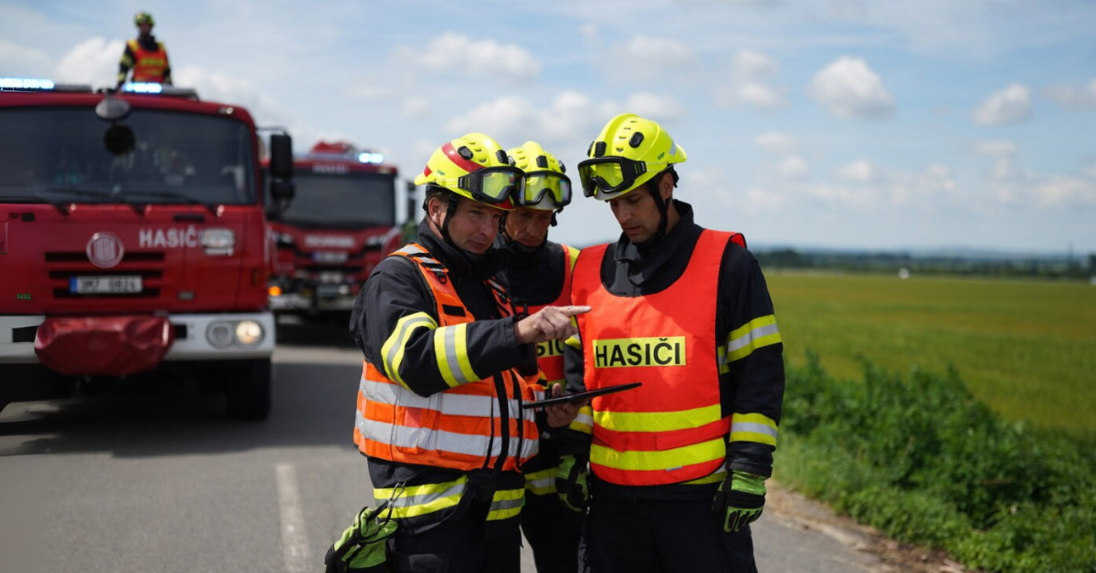
The eighteen-month project will turn fire, flood and damage imagery into products that reach dispatchers, commanders and crews in the systems they already use.
CZECH REPUBLIC, October 6, 2026 /EINPresswire.com/ — A Czech consortium led by GINA Software, together with GISAT, has launched the definition phase of the Czech Space Resilience Nodes, an eighteen-month European Space Agency project designed to bring space-based intelligence directly into the operational workflows of emergency services.
Satellites routinely capture information needed during the first hours of a disaster: where a wildfire is developing, how far flood water has spread, or which roads, buildings and infrastructure have been damaged. However, satellite data typically requires processing and interpretation before it becomes actionable, while emergency command systems are rarely connected directly to space-data processing pipelines.
The Czech node is designed to streamline this process across all phases of the emergency management cycle. It will integrate standardised satellite-derived intelligence products, such as fire hotspot identification, fire-front movement, and flood extent and depth, directly into the command and control workflow. The products will feed into the 112 emergency line, computer-aided dispatch (Smart CAD) and common operational picture systems, and onward to tablets, vehicles and helicopters, with a link to drone operations.
“Satellites already see the fire, the flood, the damage. The hard part is getting that picture to the person who has to act on it,” said Boris Prochazka, contract manager for the Czech SRN project at GINA Software. “This project builds that picture into the tools our responders already use.”
A central part of the project will therefore be close cooperation with emergency-service users. The General Directorate of the Fire and Rescue Service of the Czech Republic is involved in the project together with the NATO DIANA Accelerator, helping ensure that the node is designed around real operational requirements rather than around technology alone.
“Every minute matters in emergency response. Earlier awareness of wildfire development or a clearer picture of flood impacts can significantly improve how we prioritise resources and organise our response. The value of this project lies in bringing practical information products into the hands of decision-makers when they need them most,” said Colonel Bohuslav Ježek, M.Eng., Head of the Development and GIS Division, General Directorate of the Fire and Rescue Service of the Czech Republic.
Two operational demonstrators are planned during the project. The definition phase will also produce an expansion roadmap covering broader collaboration with Czech end users as well as coordination with other nodes under development across Europe.
“One of our priorities is to ensure that investments in space activities translate into tangible benefits for society. The Czech Space Resilience Nodes represents an important step towards the practical utilisation of Czech and European space capabilities in support of national resilience, crisis management and future public services,” added Dr. Václav Kobera, Director of the Czech Space Agency at the Ministry of Industry and Trade.
About the consortium
GINA Software develops communication and coordination technology for emergency response and security operations. Founded in Brno in 2010 following the deployment of a research project in response to the Haiti earthquake, the company builds Smart CAD, Tactical AVL and GINA Apps,
which serve 250,000 users in more than 50 countries. GINA is part of the technology stack of the Czech Integrated Rescue System and has supported international responses to large-scale disasters, including United Nations operations. The company works to a single purpose: saving lives through technology.
GISAT is a Czech remote sensing company specialising in Earth Observation (EO) and satellite-derived information services. With 35 years of experience in the field, GISAT brings expertise in transforming EO data into information products for operational users, including experience related to the Copernicus Emergency Management Service. Within the Czech SRN consortium, GISAT acts as the core EO technical partner, contributing expertise in EO data processing, product specification and product quality to ensure that space-derived information is fit for operational emergency-management needs.
Michal Bušek
GINA Software
+420 734 730 808
busek@ginasystem.com
Visit us on social media:
LinkedIn
Legal Disclaimer:
EIN Presswire provides this news content “as is” without warranty of any kind. We do not accept any responsibility or liability
for the accuracy, content, images, videos, licenses, completeness, legality, or reliability of the information contained in this
article. If you have any complaints or copyright issues related to this article, kindly contact the author above.

Media gallery